Water/Colour

Water collection, Raindrop Creek Falls, August 2011, photo Cathy Campbell.
I.Water
/ Colour
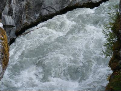
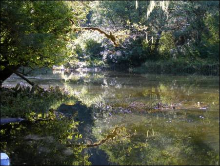
Fluids collected from the named watercourses draining the glaciers and ice fields of the Coast Mountain Range into Bute Inlet comprise the materials for Water/Colour. Cut seventy miles into mid-coast British Columbia, Bute Inlet is the second longest, steepest and most intensely climate-impacted fiord of the North Pacific Coast. The names, and the naming process that designated the inlet and each waterways, release stories relating to the area’s geography and history. Each watercourse acquired its native, explorer, incomer or entrepreneur sourced name for different reasons and each designation illuminates a sequence of attitudes toward the inlet landscape.
Bute Inlet was named by Captain George Vancouver in 1792 to honour John Stuart, the Third Earl of Bute, whose grandson James Stuart was aboard his ship Discover during the first survey. The name of the ancestral Homalco village of Xwemalhlwu at the mouth of the Homathko River means Swift Water, an appropriate and cautionary description of the wild flow of the watercourse. Cumsack Creek’s name derives from “Tyee Kamsack”, Chinook Jargon for the largest blue bead used in Hudson’s Bay Company fur trade. Though constantly affected by geography, usage and our position of observation, each Bute watercourse manifests its own nature and its own colour.
II. The Elements

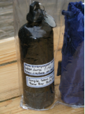
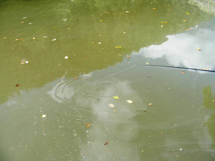
Water gathered from twenty named rivers, bays and creeks feeding Bute Inlet. Accompanying the water samples is a jar of Bute Wax, a unique, inlet lipid naturally derived from bodies of copepods. The wax’s colour, consistency and random surfacing, is created by the extreme wind and temperature fluctuations for which the inlet is known.
IIa. The named drainages of Bute Inlet from North to South.
Rivers - Homathko
- Heakamie
- Jewakwa
- Teaquahan
- Southgate
- Bear
- Paradise
- Orford
Camp Creek Falls, August 2011,photo Mark Gomes
 Creeks - Mosley
 - Rasmussen
- Coola
- Scar
- Whitemantle
- Brew
- Camp Creek
- Gargoyle
- Cumsack –
- Galleon
- Elliott Neighbour
- Icewall
- Raleigh -
- Allaire
- Nine Mile
- Deschamps
- Schnarr Landing
- Meleresh
- Algard
- Moh
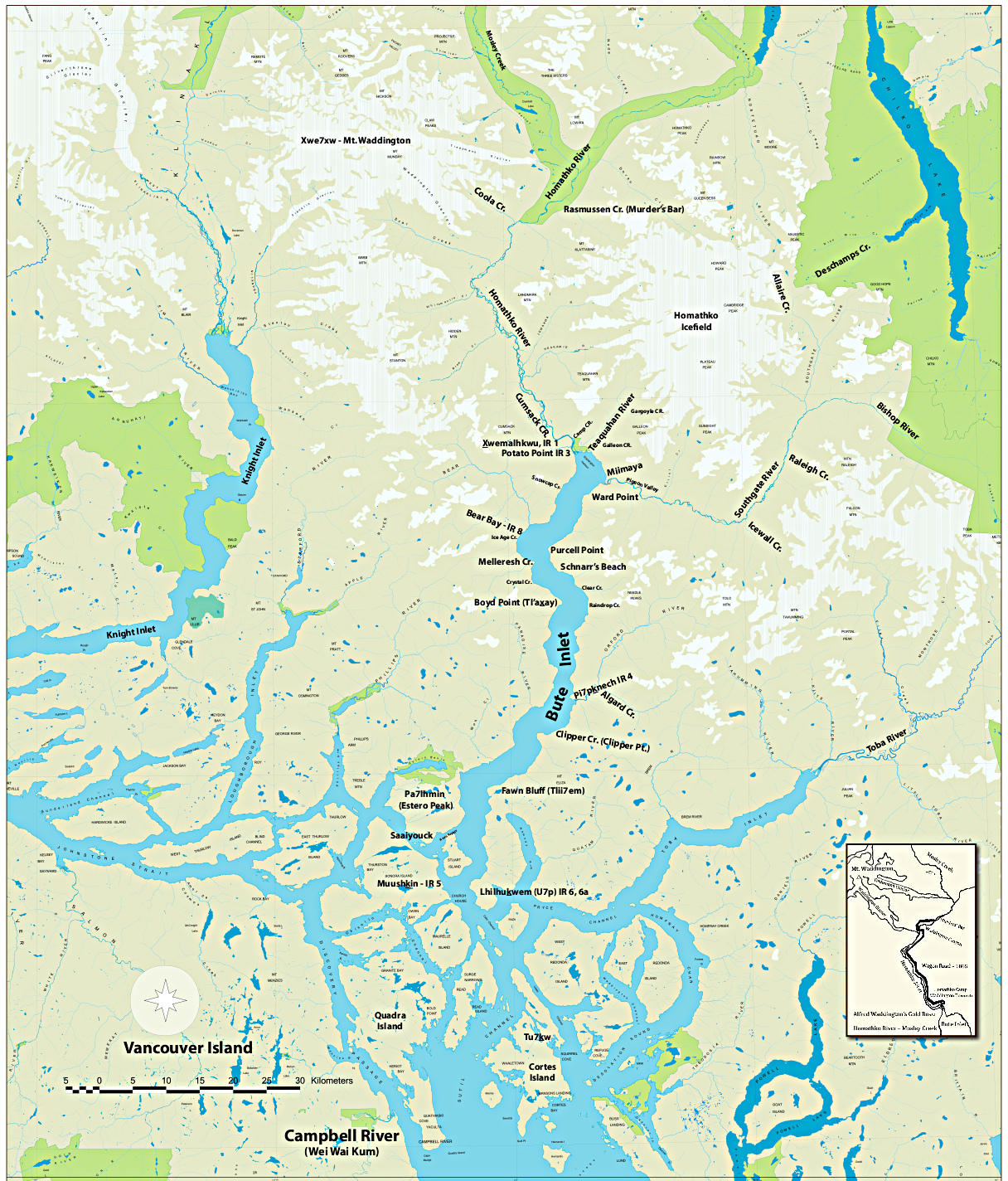
IIb.Map
A map of the area from Mount Waddington, at 13,188 feet the highest peak completely in B.C., to Cortes Island created for this project. It makes visible how fish-bearing drainage systems flowing from the Coast Range into Bute Inlet, a major ecological engine of the coast, mix with the Northern tidal flow through the Euclawtaw rapids at the Stuart, Quadra and Sonora Islands hub below Estero Peak (Pa7ihmin)
Bear Bay, painted with water collected 200 meters from dock, March 27, 2010.
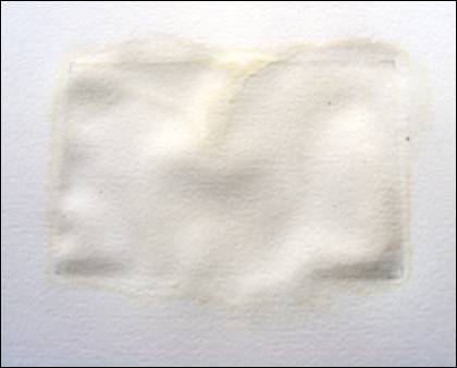
 Twenty sets of paintings are being made with half the collected water sample, using that liquid only. The water itself creates any tone, form, or paper alteration. Multiple applications of water from the Homathko, Orford and Bear Rivers, from Bear Bay and from Scar and Cumsack Creeks, has produced varied, minimal tones and texture on neutral pH paper depending on vegetal, mineral and silt content and the sample collection season.
Paintings made using water from Negro Bill’s Creek on Cortes Island, from the Seine and Thames Rivers and the Venetian Canal system, waters heavily impacted by human development, were painted as “controls” for the glacier fed, wilderness drainage sets.
IId. Colour chart: from watercolour paintings.
IIe. Oil Painting.
Paintings are being made from Bute Wax collected by August Schnarr when, for ten days during February 1959, the wind blew hard down the Homathko valley into the inlet from the great ice fields surrounding Mt. Waddington in the northeast. The temperature dropped nearly to zero and, when the wind suddenly turned to the south, long slicks of what has come to be called Bute Wax floated down inlet and washed up against log booms at Bear Bay. The wax, collecting around floating objects in the upper three feet of the surface water, created eighteen-inch balls that rolled against the steep shores at Purcell Point opposite near Schnarr’s Landing.
When the temperature moderated the balls melted and the material disappeared into the inlet waters. According to scientists who studied the wax, the mystery of its storage during warm weather, when it is never seen, is as great as that of its origins.
III. Projections: wall size projections of selected watercolour paintings.
IV. Meltwater: a selection
a) Cumsack Creek
Cumsack Creek, site of the Homalco village of Xwemalhlwu.
Cumsack Creek, August 24, 2010
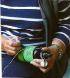
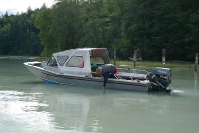
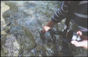
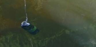
b) Southgate River. Photo of water collection from boat by Mark Gomes